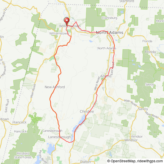
Mount Greylock is the highest mountain in Massachusetts. In addition to the incredible ride over the mountain, there is an easier counterclockwise loop around the mountain beginning from the same location at the Williamstown Public Library. Taking back roads through North Adams to Adams, where you’ll be on the beautiful Ashuwilticook Rail Trail for a dozen miles, right along Cheshire Lake and in the shadow of Mount Greyclock.
When you reach the tiny community called Berkshire, ride between two lakes and take Prospect Street to Lanesborough. Then you’ll begin a modest climb to the Brodie Mountain Pass, followed by a very nice 12-mile continuous but gradual descent back to Williamstown. Stop at the Store at Five Corners, then take either the relatively flat route along the Green River to downtown, or continue on Route 7 with a short climb that offers an outstanding view of Mount Greylock on your right. Total ride distance is about 40 miles.
View this ride at http://ridewithgps.com/routes/260140

Route at RideWithGPS
View and print cue sheet
View and print map
Log in to RideWithGPS & click on More to export GPS files
