
Calvert County Maryland explores the western shore of Chesapeake Bay. Route options range from 16 to 62 miles. End Hunger In Calvert County is a 501(c)3 non-profit organization
2012 routes are shown below.
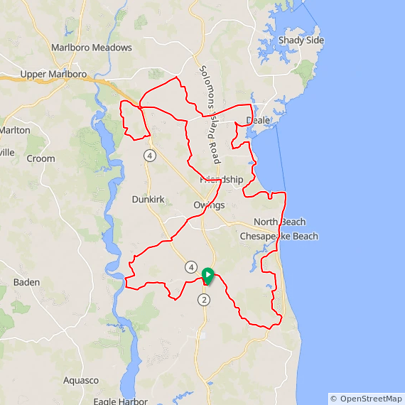
Start location: Chesapeake Church (map) 6201 Solomons Island Rd., Huntingtown, MD 2063.
63 mile route
49 mile route
35 mile route
16 mile route
Route at RideWithGPS
View and print cue sheet
View and print map
GPX file
TCX Course
