Start: Tyngsborough Elementary School, 205 Westford Rd, Tyngsborough, MA (map). Arrow Shape: White T.
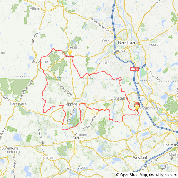
Description: The ride is remarkable for staying on so many low-traffic roads with excellent pavement. The short ride goes through Tyngsborough, Pepperell, Hollis NH, Nashua NH, and Dunstable; the long ride adds Townsend and Brookline NH. The short route has 0.5 miles of packed gravel, and the long route has an additional 0.7 miles of packed gravel. All gravel sections are well-graded in good condition and are suitable for road bikes with small tires. Created by Charles River Wheelmen (CRW)
46 miles
 Download the 46 and 32 mile cue sheet
Long Route 46 miles at RideWithGPS
PRINT MAP FROM BROWSER
PRINT CUE SHEET FROM BROWSER
GPX file for Garmin 605, 705, 800, apps
TCX file for Garmin Edge 500, 800
32 miles
 Download the 46 and 32 mile cue sheet
Medium Route 32 miles at RideWithGPS
PRINT MAP FROM BROWSER
PRINT CUE SHEET FROM BROWSER
GPX file for Garmin Edge 605, 705, 800, apps
TCX file for Garmin Edge 500, 800
