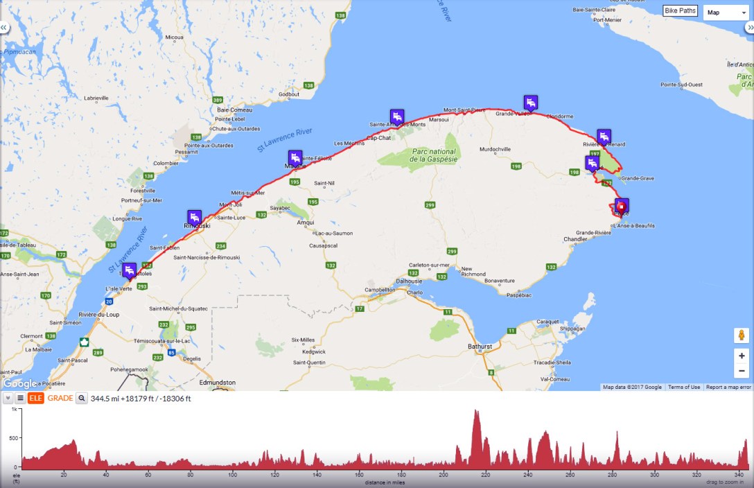
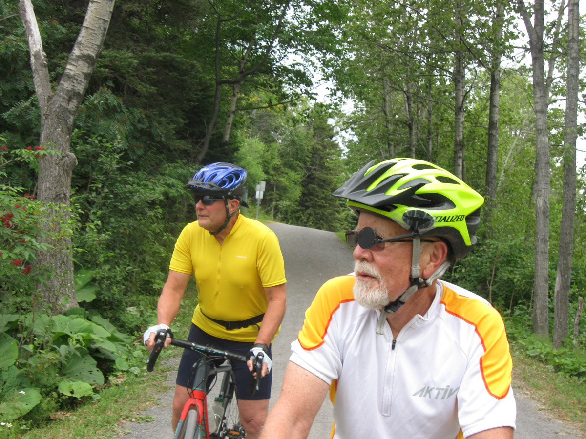
Tour Overview

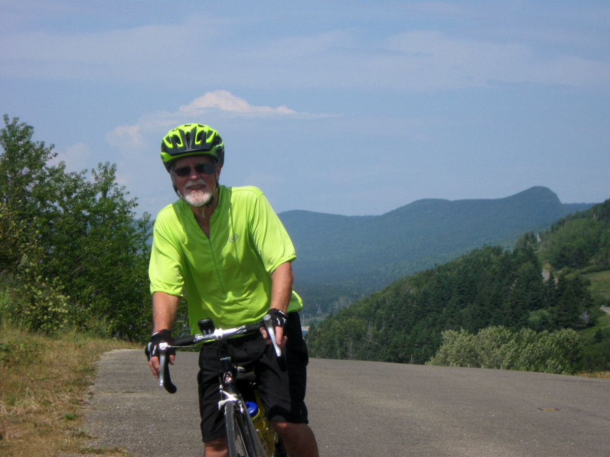
In the summer of 2017 my wife Deb and I toured 340 miles of Quebec’s Gaspé Peninsula with our friend Michael and his wife Ruth, who drove and carried our gear. Over the course of 6 days of riding we had almost 10,000 ft. of elevation gain. We rode from west to East to take advantage of the Peninsula’s strong tailwinds.
From our home in Ipswich MA, the drive to Riviere-du-Loop on the northern shore took about 9 hours. We ended the tour in Percé at the end of the south shore.
Shown below are cue sheets, maps, GPS links and photos from our tour.
Day 1: Riviere-du-Loop to Rimouski
Distance: 72 mi., Elevation: +3080 ft of climb
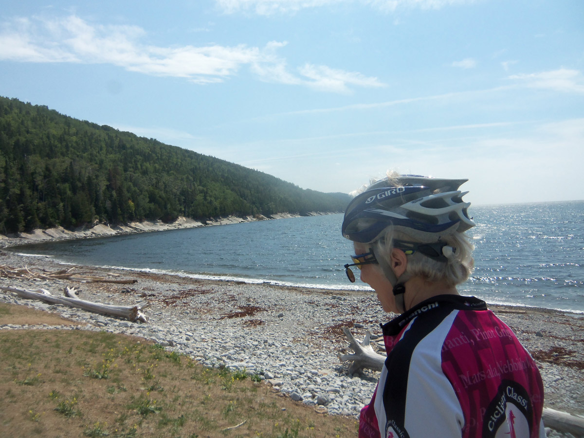
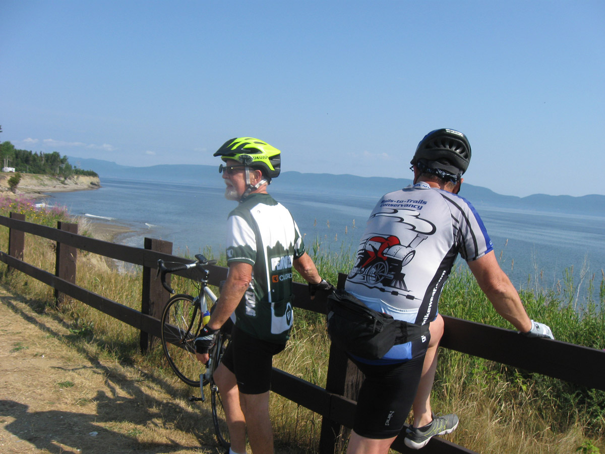
The August tourist traffic on Rt. 132 was very heavy for the first two days. The side roads into the little villages were quiet and enjoyable.
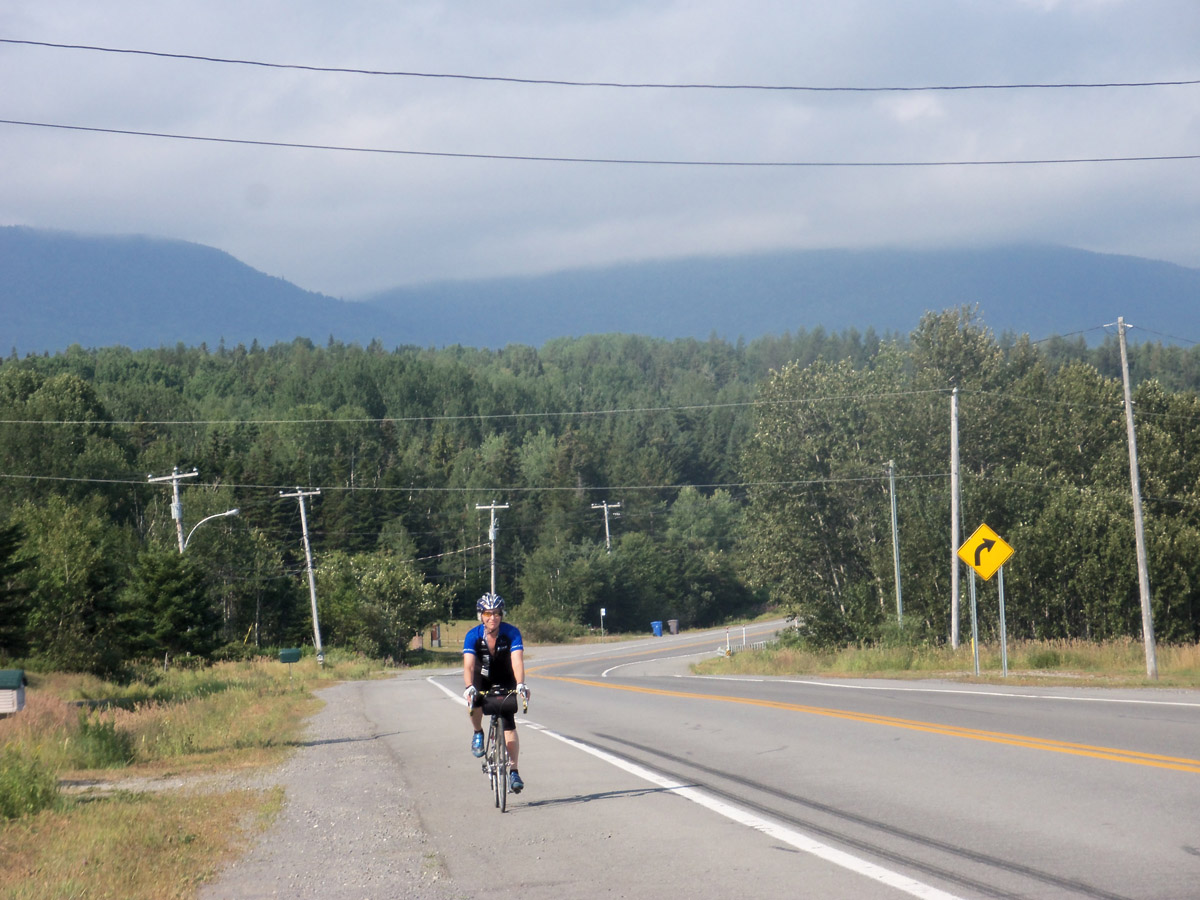

Day 1 route at RideWithGPS
View and print cue sheet
View and print map
GPX file
TCX Course
Day 2 Rimouski to Matane
Distance: 57.2 mi. Elevation: + 1291 / – 1276 ft

Day 2 route at RideWithGPS
View and print cue sheet
View and print map
GPX file
TCX Course
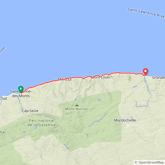
Day 3 Matane to Sainte-Anne-des-Monts
Distance: 57.6 mi. Elevation: 2391 ft
 Day 3 route at RideWithGPS
View and print cue sheet
View and print map
GPX file
TCX Course
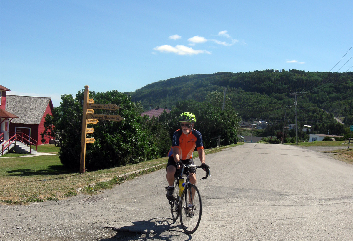
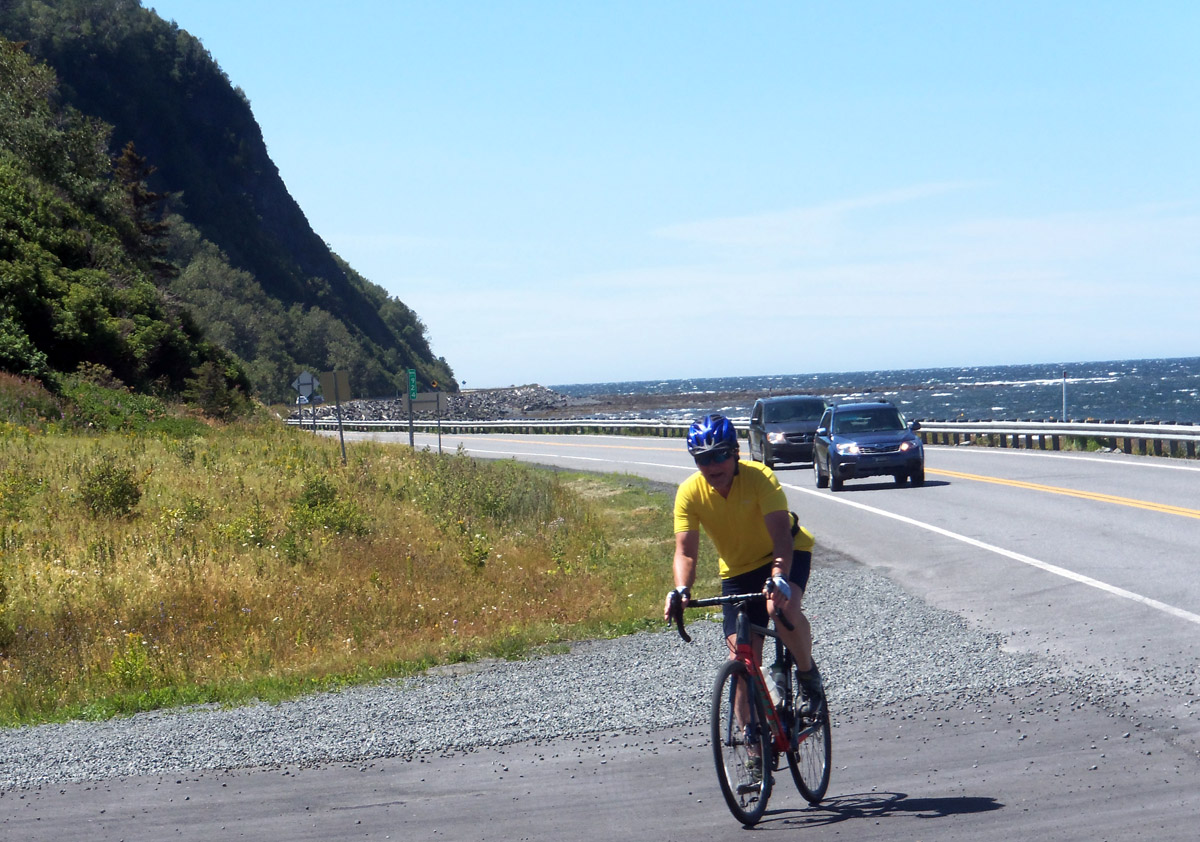
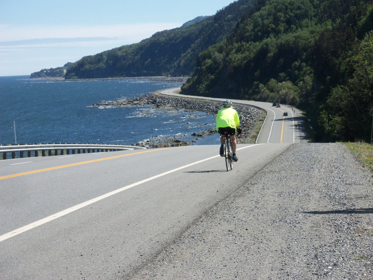
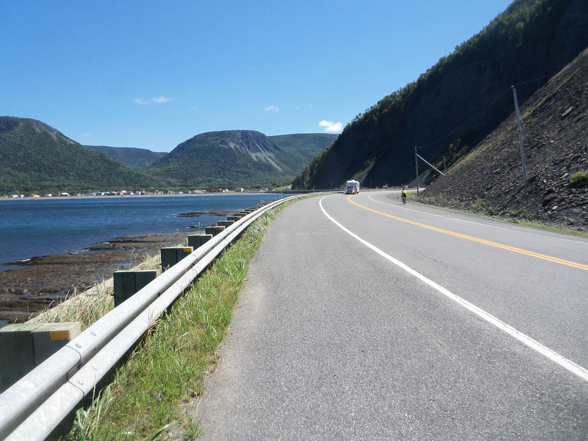
Day 4 Sainte-Anne-des-Monts to Rivere-de-Madeleine
Distance: 58.9 mi. Elevation: 4001 ft
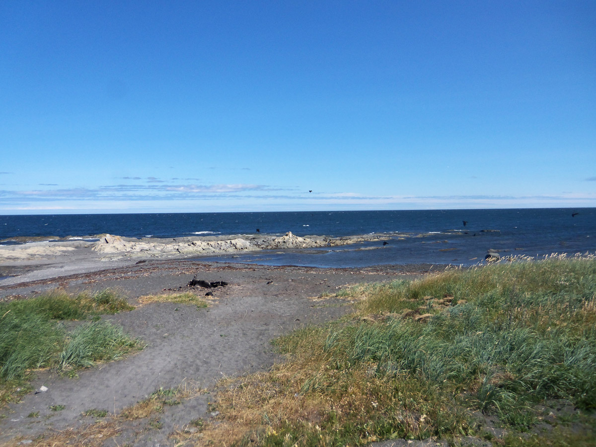
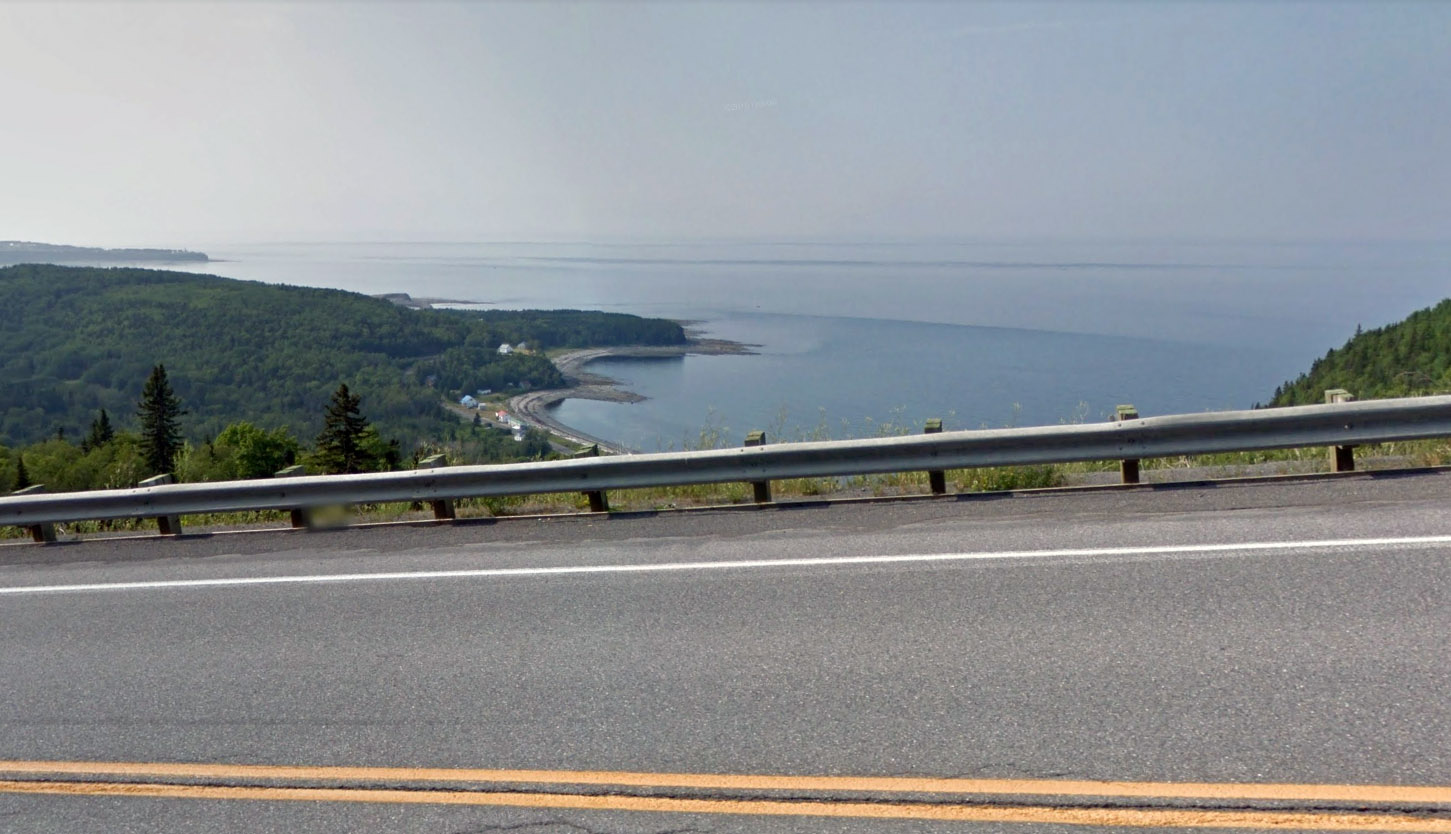
This was an amazing ride along the shore at a 24 mph speed aided by the wind, with mountain cliffs towering above us.
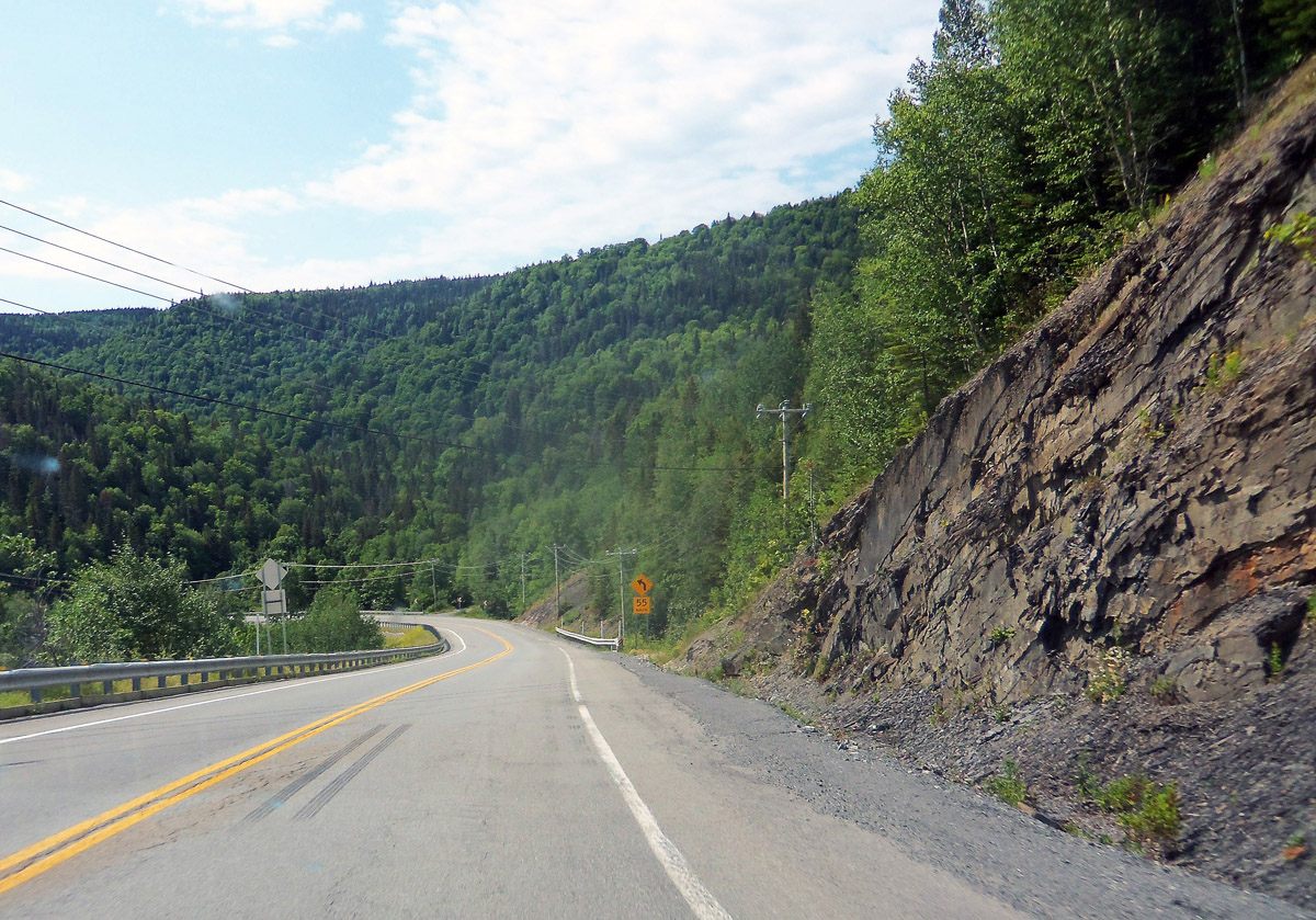
Option: Continue to Grande Valee’ for total 70 miles. This 10 mile section goes inland, with long steep climbs over the mountains. The shoulder is non-existent in some places.and the road is therefore not marked for La Route Verte. (not recommended).

Route at RideWithGPS
View and print cue sheet
View and print map
GPX file
TCX Course
Day 5: Grand Valee to Riviere-au-Renard
Distance: 40.1 mi. Elevation: + 3600 ft
We chose to drive the section from Rivere-de-Madeleine to Riviere-au-Renard, which crosses the mountains and which does not have shoulders in some sections, and is not yet part of Quebec’s La Route Verte.
 Day 5 route at RideWithGPS
View and print cue sheet
View and print map
GPX file
TCX Course
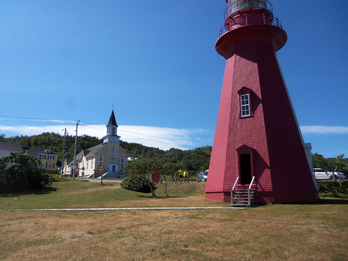
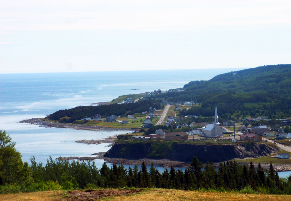
Day 6: Riviere-au-Renard to Gaspe’
Distance: 44.7 mi. Elevation: + 3128 ft.
Forillion Provincial Park is the green area in the map below. The park road on the south shore of the park offers wonderful climbs and gorgeous views.
 Day 6 route at RideWithGPS Le parc national Forillon and Gaspé
View and print cue sheet
View and print map
GPX file
TCX Course
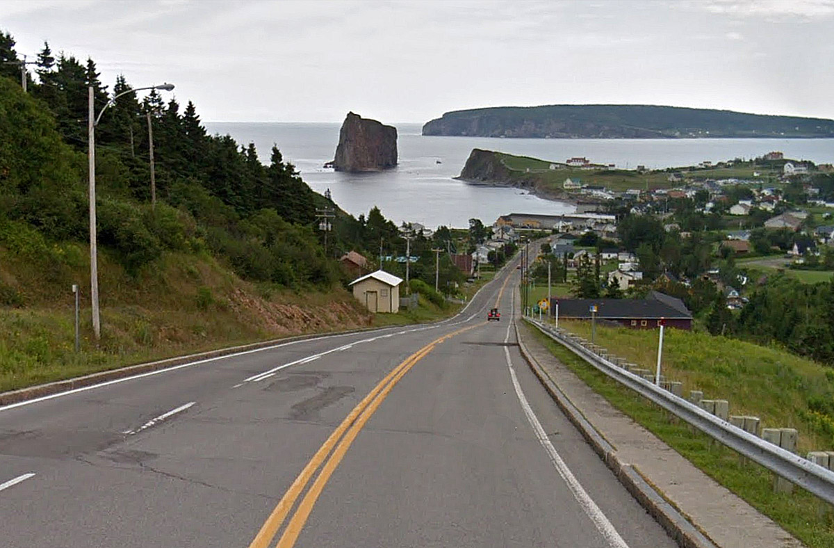
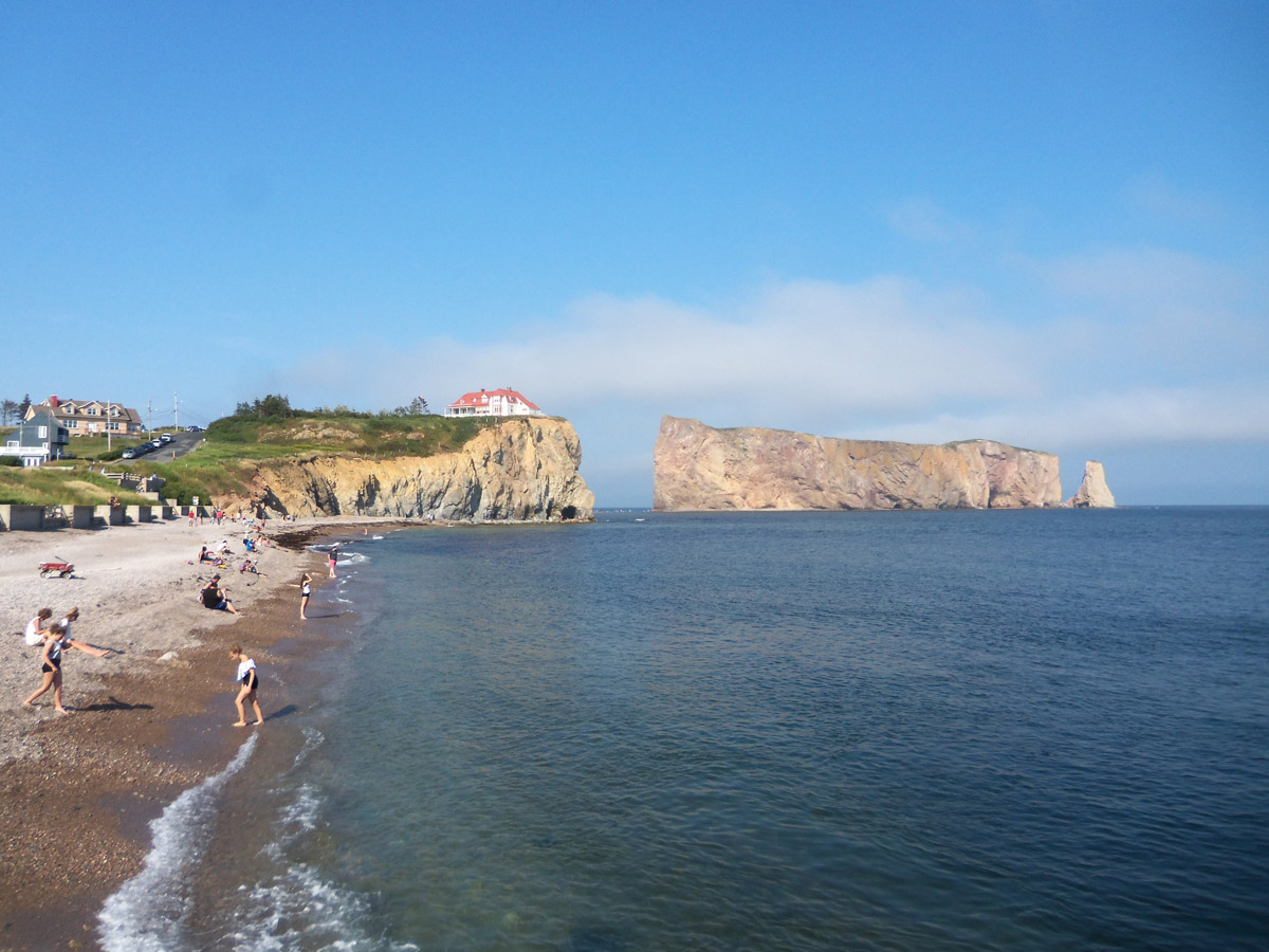
Day 7: Gaspe’ to Perce’
Distance: 47.0 mi. Elevation: + 2500 ft.
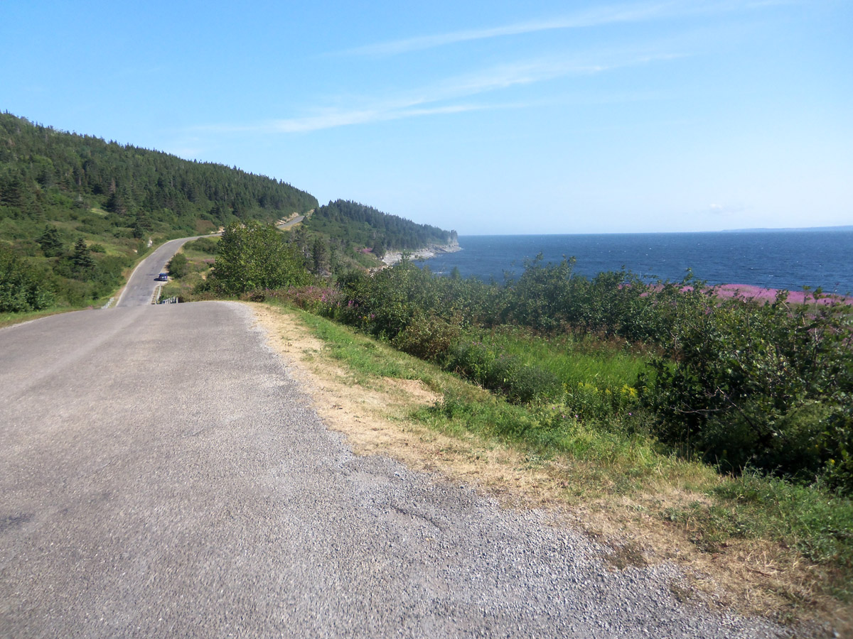
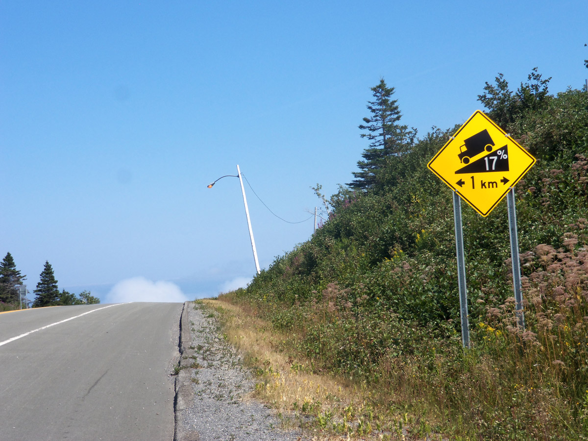
There is a paved bicycle trail that follows the coast for several miles from Gaspe’. Despite a moderate headwind we made good time along the shore. For the last 5 miles, Rt. 132 winds up into the mountains with two prolonged 14-15% climbs, and descends into Perce’ at 17% grade and no shoulder. Deb was the only one brave enough to ride that final mile.

Day 7 route at RideWithGPS: Gaspé to Perce Percé
View and print cue sheet
View and print map
GPX file
TCX Course
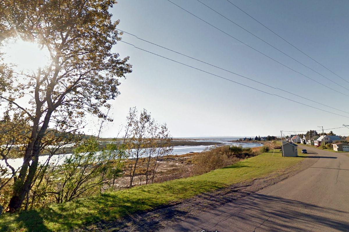
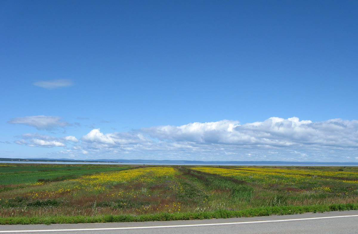
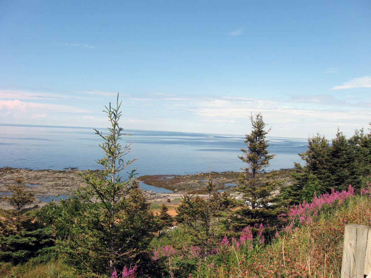
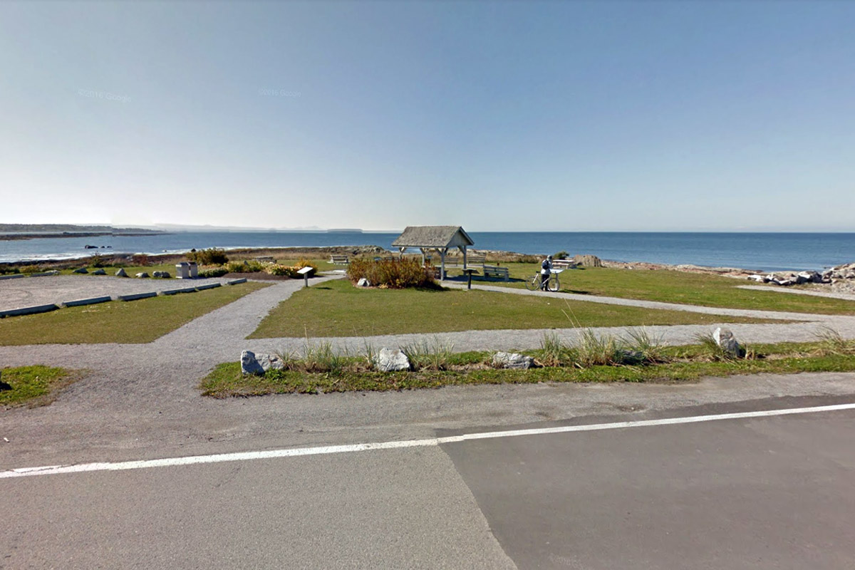
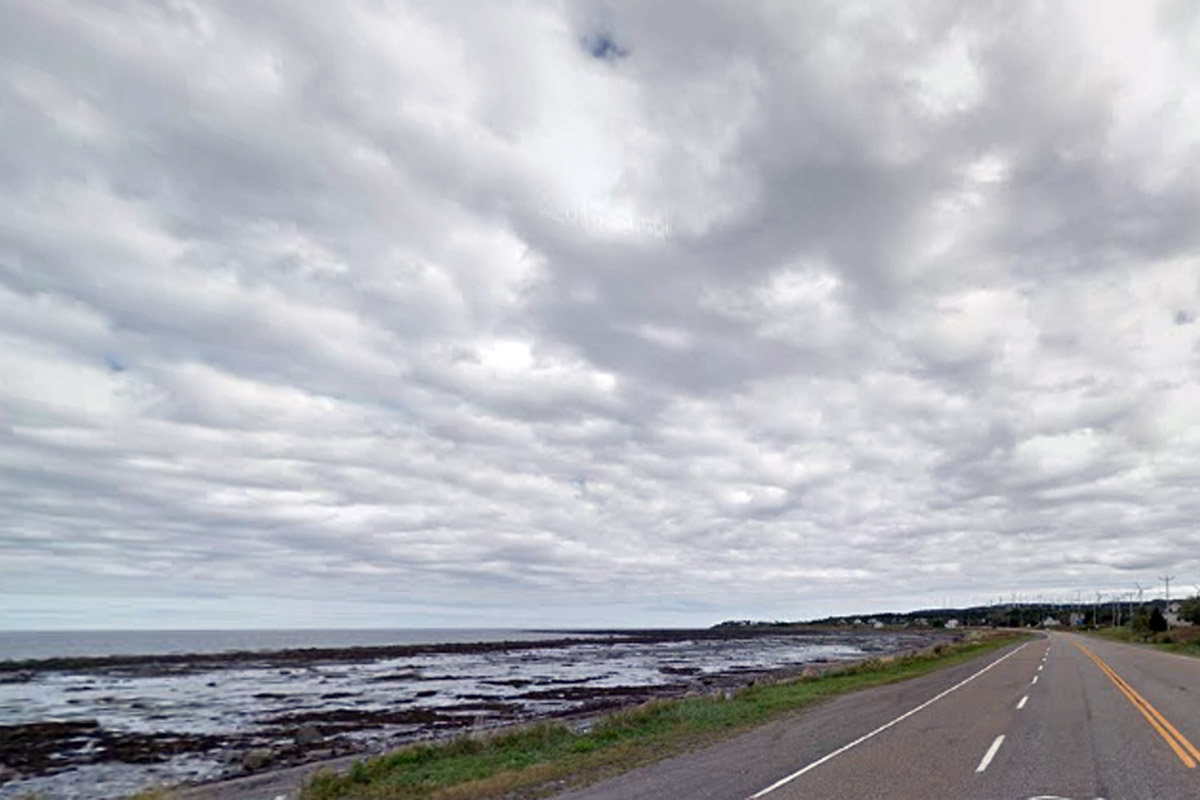
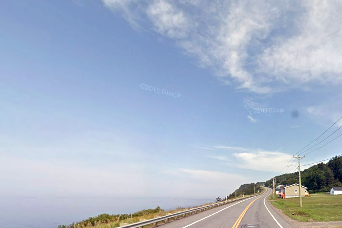
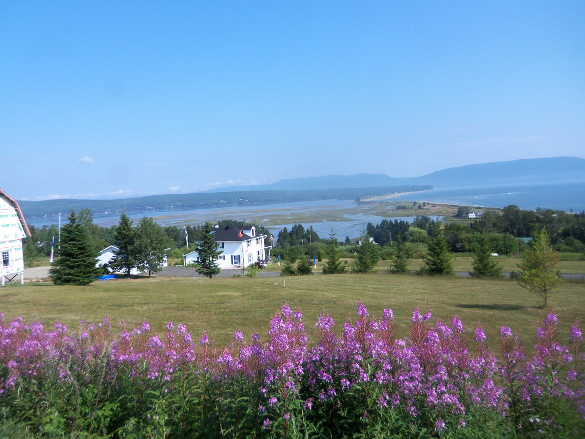
From Percé the drive back home took about 14 hours, which we split into two days. Rt. 132 follows the shoreline on the South Shore, with good wide paved shoulders, but the scenery is not quite as spectaculor, but there are occasional wonderful views, as shown below.
More tours of the Gaspe:
